EXPLORETime Out London · 1h ago
A new interactive map aims to improve nights out in London
Executive Brief
The 30-second read
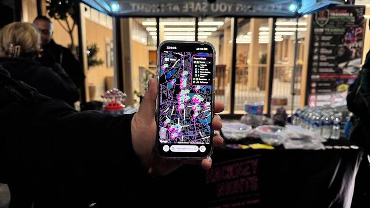
Hackney Council has launched a digital interactive map to support navigation and safety in London after dark. The tool provides real-time locations for essential infrastructure including public restrooms, drinking water stations, and mobile charging points.
- 01Hackney Council developed a new interactive map for improved nighttime navigation and resource access
- 02Users can locate the nearest public toilets and clean drinking water stations via mobile
- 03The digital platform identifies specific locations offering emergency mobile phone charging facilities
- 04Strategic infrastructure mapping aims to enhance safety and convenience for individuals in London after hours
Go deeper · Explore playbook
London Business News: Executive Guide →AI-generated summary · Verify at source
Hackney Council’s new ‘night map’ shows you where to find the nearest toilets, drinking water and places to charge your phone after dark